
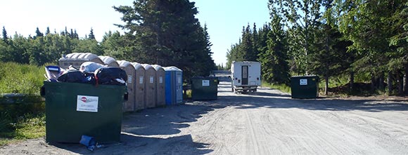
Welcome to the Kasilof River Special Use Area (KARSUA) website. The purpose of this site is to educate and inform the public about the recreational opportunities, unique land use rules, and the wildlife habitat all within the KARSUA.
The KARSUA is designated as a Special Use Area (11 AAC 96.014(b)(26)) managed by the Department of Natural Resources (DNR), Division of Mining, Land, and Water, Southcentral Regional Office (SCRO). The SCRO determined these lands contain special biological habitat, and recreational values that warrant additional protections. Lands contained within the KARSUA will also continue to be managed as public domain lands under the authority of Alaska Statute Title 38, and through the principles of multiple use.
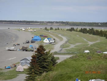
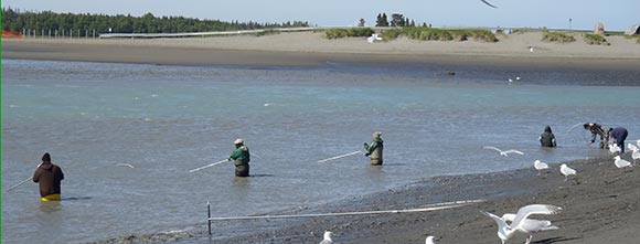
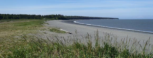
The KARSUA is Located on Alaska's Kenai Peninsula. The main attraction for visitors and residents to the area is the Kasilof River. The Kasilof River is a relatively large, partially glacial-fed river stretching almost 20 miles, flowing north, northwest, draining Tustumena Lake before emptying into the Upper Cook Inlet. The river and adjacent areas are within a short driving distance from most of Southcental Alaska's major population centers (180 miles from Anchorage) creating many readily available commercial, recreational, and personal use fishing, and recreational opportunities for thousands of Alaskans and visitors including boating, hunting, beachcombing, wildlife viewing, picnicking and camping. The lower river system is also used for various commercial activities, namely fishing operations and is directly managed by SCRO through the issuance of authorizations such as permits and leases.